The Corangamite Natural Resource Management Portal (NRM Portal) is an innovative approach to collaborative, integrated catchment management by providing the tools and information for communities and agencies to identify joint priorities for catchment management. Visit the NRM Portal.
The South West Climate Change Portal provides tools, maps and visualisations to enable stakeholders to understand and plan for climate change in the south-west region of Victoria. Visit the SWCC Portal.

A collection of publications and technical reports on all aspects of the catchment. The collection focuses on information written specifically for the Corangamite region. The database has been indexed by subject and locality for information retrieval and analysis. Visit the CCMA eLibrary.
Visualising Victoria's Groundwater is a central access point for Victoria's groundwater datasets, including 2D and 3D visualisations. Visit the VVG Portal.
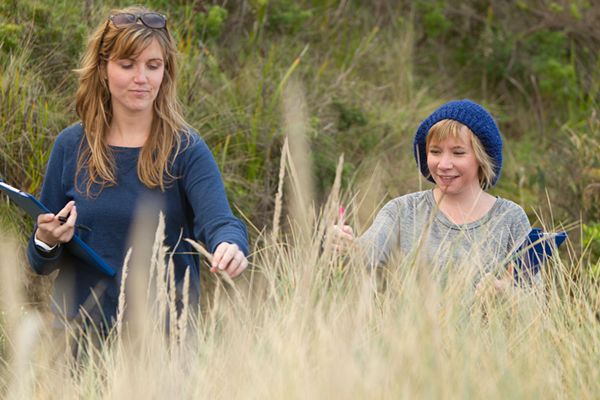
Waterwatch Victoria has connected local communities with river health and sustainable water issues and management since 1993. Visit the Waterwatch website.

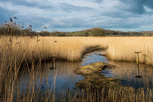
The Water Measurement Information System (WMIS) is the primary access point to search, discover and download surface water (water level, flow and water quality) and groundwater (water level and water quality) monitoring data. Visit the WMIS Portal.
Visualising Victoria's Biodiversity (VVB) is a place to discover and share spatial information on Victoria's environmental values, conservation activities and research. Visit the VVB Portal.
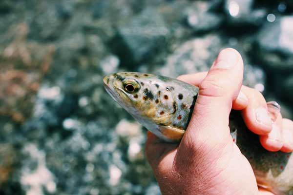
The Native Fish Report Card Program is the first time that scientific fish population surveys have been used to produce publicly-available report cards. Visit the Native Fish Report Card Program.
NatureKit is a statewide biodiversity web mapping and reporting tool managed by the Department of Environment, Land, Water and Planning. Visit the NatureKit Portal.
The Atlas of Living Australia (ALA) is a collaborative, digital, open infrasructure that pulls together Australian biodiversity data from multiple sources, making it accessible and reuaseable. Visit the ALA website.
.jpg)
.jpg)

![]()
For key findings from three years of intensive research into small mammals, fire, pest predators and a plant disease, Phytophthora dieback, visit the Wild Otways Initiative portal.
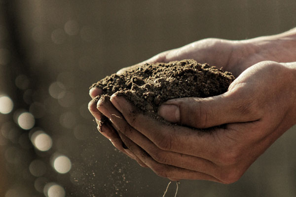
Search and access over 3,589 soil health resources using the Soil Health Knowledgebase (SHKB), including reports, fact sheets, journal articles, spatial layers and more. Visit the SHKB Portal.
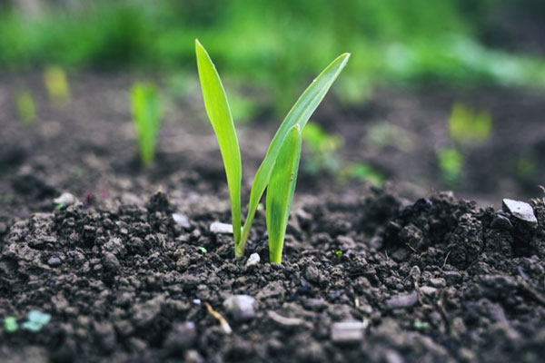
Visualising Australasia's Soils (VAS) brings together (federates) soil related datasets and information created and managed by goverment agencies, organisation, community groups and individuals. Visit the VAS Portal.
The Southern Farming Systems (SFS) Soil Probe Network Portal (ProbeTrax) has been established to monitor and asasess soil temperature and moisture conditions from 62 soil probes which have been install across Victoria and Tasmania. Visit the ProbeTrax Portal.
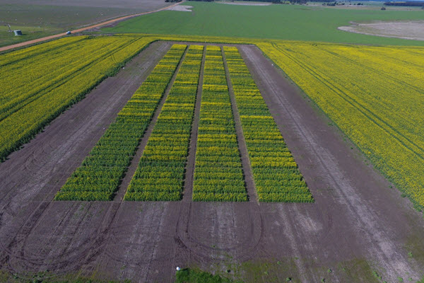
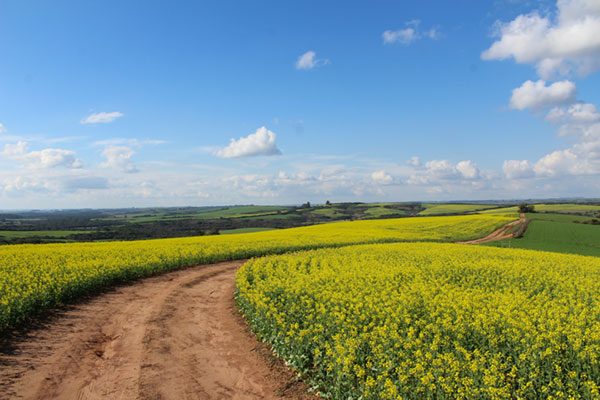
Online Farm Trials (OFT) is an exciting initiative that brings nationwide grains research information directly to the grower, agronomist, researchers and the wider grain industry through innovative online technology. Visit the OFT Portal.
Waterwatch Victoria has connected local communities with river health and sustainable water issues and management since 1993. Visit the Waterwatch website.
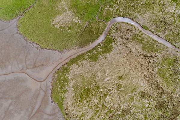
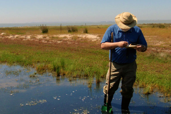
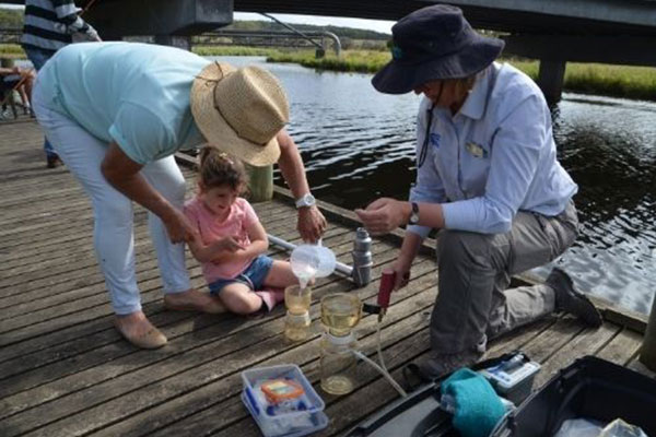
EstuaryWatch is a successful citizen science program that supports community members to monitor the health of their local estuary. Visit the EstuaryWatch website.
The goal of eBird is to gather this information in the form of checklists of birds, archive it, and freely share it to power new data-driven approaches to science, conservation and education. Visit the eBird website.
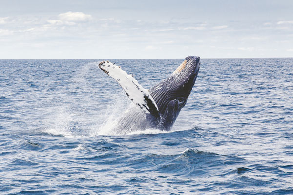
WhaleFace is a platform that lets anyone contribute to the conservation of Southern Right Whales in south-east Australia. Visit the WhaleFace Portal.
iNaturalist helps you identify the plants and animals around you. Get connected with a community of over a million scientists and naturalists who can help you learn more about nature! Visit the iNaturalist website.
Our Coast brings together local governments and the Geelong and Bellarine Peninsula communities to plan for climate change in areas such as sea level rise and storm surge. Visit the Our Coast website.
EstuaryWatch is a successful citizen science program that supports community members to monitor the health of their local estuary. Visit the EstuaryWatch website.
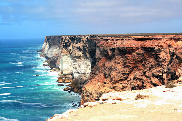
CoastKit has been developed by DELWP to provide an online data repository for the community to explore and use Victoria's marine and coastal information. Visit the CoastKit website.